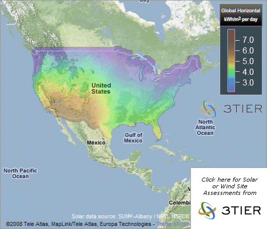
Solar Insolation Maps of the United States
On this page you will find a map of solar insolation values for the United States. Also, there are image links below the map that will take you to regional solar insolation maps for the different U.S. regions.
What is solar insolation?
According to SolarInsolation.org, "solar insolation is a measure of solar radiation energy received on a given surface area in a given time. It is commonly expressed as average irradiance in watts per square meter (W/m2) or kilowatt-hours per square meter per day (kW•h/(m2•day))(or hours/day). In the case of photovoltaics it is commonly measured as kWh/(kWp•y)(kilowatt hours per year per kilowatt peak rating).
Solar insolation is very important in determining what size a solar power system needs to be in order to meet the expectations of the system's owner. For instance, in northern latitudes there is less solar insolation and therefore more solar panels will be required than are needed in southern latitudes to produce the same amount of electricity.
 |
||
 United States |
 Western US |
 Eastern US |
 Pacific Northwest |
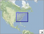
 Pacific |
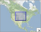
 Southern Plains |
 Southeast |
 Atlantic Seaboard |
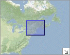 New England |
 Great Lakes |
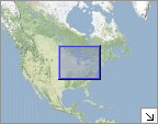
 Northern Plains |
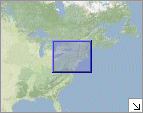 New York & Pennsylvania |
You can also use these maps which include global solar insolation maps: